- 0 replies
- 1,365 views
- Add Reply
- 0 replies
- 1,685 views
- Add Reply
- 0 replies
- 1,422 views
- Add Reply
- 3 replies
- 2,050 views
- Add Reply
- 0 replies
- 2,376 views
- Add Reply
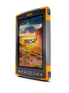
Juniper Systems to Exhibit New Windows 10 Mesa 2 Rugged Tablet™

By Lurker,


the Mesa 2 Rugged Tablet is built to perform reliably in any type of environment, and is the only Windows tablet on the market with complete IP68-rated protection against dust and water. Because it runs on Microsoft®’s new Windows 10, the Mesa 2 can be used with a wide variety of software and apps, and allows for an easy transition from field data collection to office work.
The Mesa 2 Rugged Tablet also features a 7-inch IllumiView™ display, which utilizes specialized technology to provide e
Mobile Mapping: A Game-Changer in Construction
By ptapken,
For the past decade, static lidar (or laser scanning) has been used on construction sites to effectively monitor and provide spatial data for analysis of critical construction components. The term static typically refers to tripod-mountedinstruments such as a Total Station or ILRIS-3D. Thesedevices, while highly useful, have specialized utility and are therefore limited to specific functions.
View the full case study here.
Do it Yourself Geo Apps - Free Online Esri Course

By shaimaa gamal,


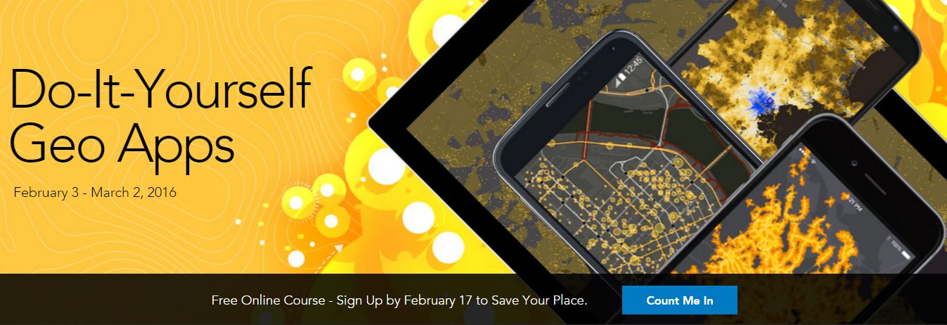
Do-It-Yourself Geo Apps
February 3 - March 2, 2016
Anyone can build apps on the ArcGIS Platform.
You don’t have to be a software developer to build valuable geo-enabled apps that make your communities smarter and businesses more successful. This course will show you how to combine location and narrative in one application to better communicate and broadcast your story, create custom web applications that solve problems in your community, and build powerful native applications for iOS and A
UbiGEO Online Cad-Geo, new WEB-GIS
By Mesotech,
UbiGEO Online Cad-Geo, new WEB-GIS using a innovative technology is now available.
This software shows:
- an upgraded display speed ,
- advanced features for drawing,
- easy-to-use tools to create your own applications .
To view our demo: http://www.mesotech-ingenierie.net/#!demo/c1n8o
(Optimized for IE 10 and higher, and Edge)
Contact: [email protected]<script data-cfhash='f9e31' type="text/javascript"> /* */</script>
Hervé LE PEUVEDIC, Mesotech Ingénierie
Eos Positioning Systems Announces RTK NTRIP app for Mobile

By Lurker,


Eos Positioning Systems introduced a comprehensive RTK NTRIP app for Android that works with its Arrow line of RTK GNSS receivers. An Arrow GNSS receiver combined with the NTRIP app turns your Android smartphone or tablet into a powerful data collector capable of recording 1cm accurate GIS data in real-time.
The app, named Eos Tools Pro, has user-configurable audible and visual alarms to alert the user of high PDOP, lost RTK correction, unacceptable correction age and several other important
-
Forum Statistics
8.8k
Total Topics43.5k
Total Posts


