- 6 replies
- 1,977 views
- Add Reply
- 0 replies
- 1,479 views
- Add Reply
- 7 replies
- 3,174 views
- Add Reply
- 3 replies
- 4,029 views
- Add Reply
- 1 reply
- 1,652 views
- Add Reply
urban heat island
By Raghu Veer Degala,
I have a problem I want to find the land surface temperature of Bangkok using landsat8. I have everything to get it but the problem is landsat images are obtained during morning time but the maximum temperature will be afternoon period. How can I get the exact maximum temperatures of a day. is there any other data or procedure to get maximum temperature. help me thank you
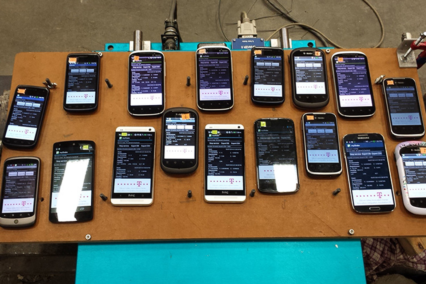
Turns your phone into an earthquake detector

By Lurker,


Your smartphone can already warn you about earthquakes. UC Berkeley, however, is going one step further: it wants your phone to help detect those quakes. The school has released an Android app, MyShake, that uses your phone's motion sensors to detect the telltale signs of tremors and combine that with the data from every other user. For all intents and purposes, you become part of a crowdsourced seismic station network -- you can confirm a quake just by leaving your phone turned on. That could b
[REQ] Elevation point data from land survey

By am2,
Hi,
I am in need of a set of land survey points with elevation,The area is not matter,only there must be some topographic features in there. Does any one have a set of survey points which can be shared?
Thank you so much
Photogrammetry tutorial: drone video to georeferenced 3D model (Agisoft PhotoScan, Sputnik GIS)
By peterpl,


Nowadays, amateur drones have an amazing range of applications. You may wonder: “Can I use my drone for photogrammetry?” and the answer is “Yes”. In this tutorial, you will create a georeferenced and measurable 3D model, using YouTube video captured by DJI Inspire 1 using Agisoft PhotoScan and view it with Sputnik GIS
Source video (4k / 2160p):
3D Model created using Agisoft PhotoScan:
If you're interested, you can read a tutorial.
Sputnik GIS also used to measure distances and
some Geo / GIS or 3D Forum in Europe

By intertronic,
Hi all,
here some Geo / GIS or other intersting Forum in eEurope
3D Forum in Lindau (Germany)
http://www.3d-forum.li/
10.05. - 11.05.2016 · Lindau, Germany
Geosummit in Switzerland
www.geosummit.ch
07.06. - 09.06.2016 · Bern, Switzerland
Gis Talk (esri)
https://www.esri.de/gistalk
25.10-27.10.2016- Munchen Germany
please help updating the list
-
Forum Statistics
8.8k
Total Topics43.5k
Total Posts


